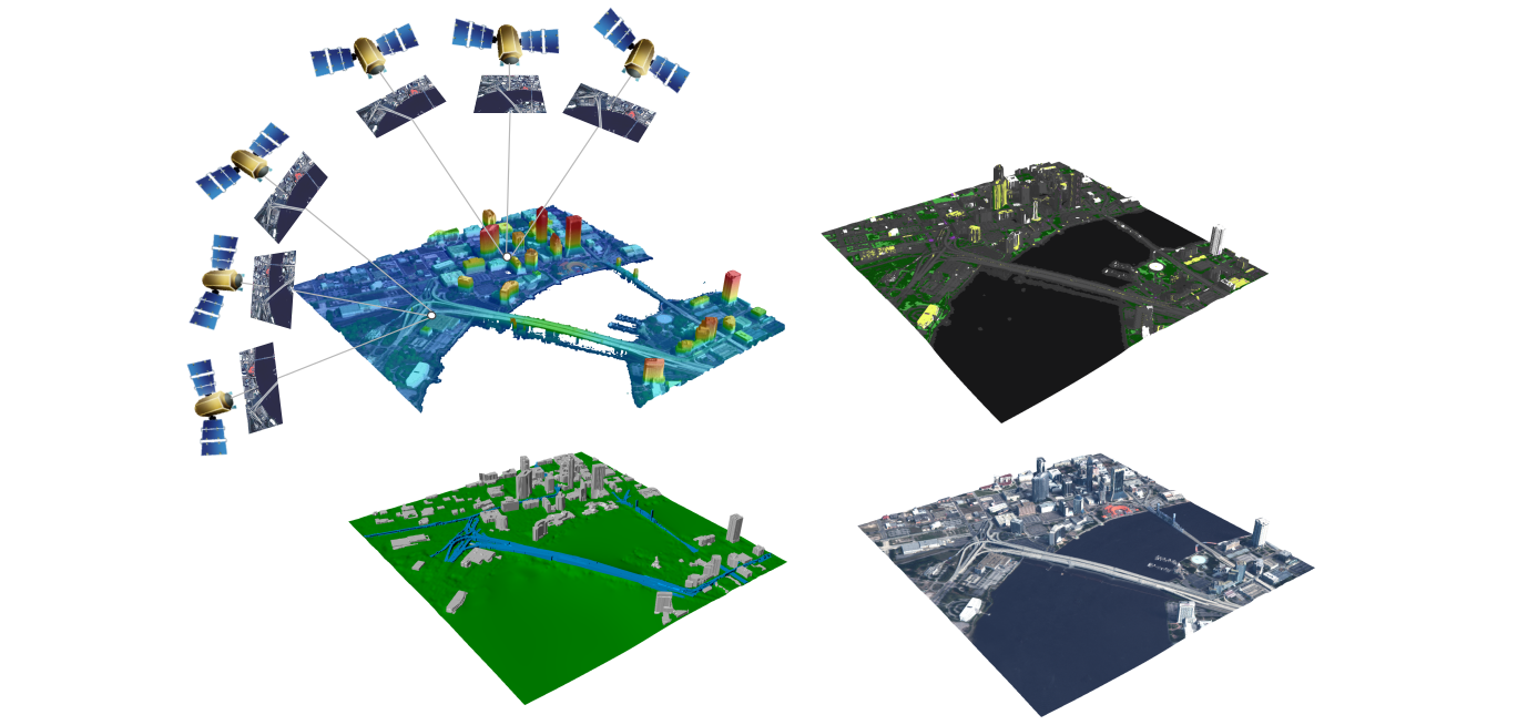
The aim of this work is to verify the possibility of using satellite data to create a digital elevation model using stereophotogrammetry (SfM-MVS) methods. The author uses stereo-pairs of Planet satellite images, creates a digital elevation model, compares the data with available validation data sets and evaluates the possibility of using satellite images for height reconstruction and potential change detection.
Thesis type: Bachelor/Master
Language: Czech/English
Expert skills: advanced Remote Sensing
Special skills: self-interest
References:
https://www.mdpi.com/2072-4292/10/9/1462
https://www.planet.com/